SAR Minvalara: Difference between revisions
From TrainzOnline
Jump to navigationJump to search
mNo edit summary |
mNo edit summary |
||
| Line 83: | Line 83: | ||
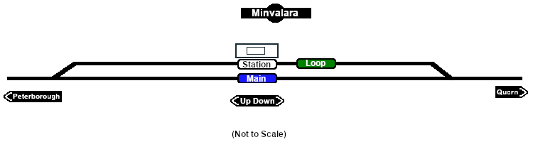
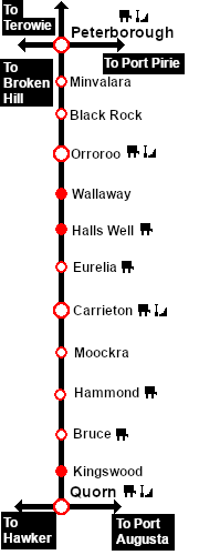
Unmanned station on the <span style="font-weight: 700; color: white; background-color: black;"> Peterborough-Quorn Line </span>.<br> | Unmanned station on the <span style="font-weight: 700; color: white; background-color: black;"> Peterborough-Quorn Line </span>.<br> | ||
Station and | Station and crossing loop.<br> | ||
Prior to 1956 when the '''Quorn''' to '''Maree''' line closed, '''Minvalara''' was used by loaded '''Leigh Creek''' coal trains to prepare their fires for the long climb up to '''Peterborough'''.<br> | Prior to 1956 when the '''Quorn''' to '''Maree''' line closed, '''Minvalara''' was used by loaded '''Leigh Creek''' coal trains to prepare their fires for the long climb up to '''Peterborough'''.<br> | ||
Revision as of 07:13, 26 September 2022
|
 |